El Caso Campgrounds, Quemado, NM

Quemado Ranger District, Gila National Forest

Gila National Forest

Free Camping Near Quemado Lake, NM

El Caso Campgrounds is a series of five, free, designated dispersed campgrounds operated by Gila National Forest. All five are located along Forest Road 13, about 1.5 miles east of Quemado Lake. All five El Caso campgrounds are grouped within a 0,5 mile distance together.

Authority

District Office

Tel: (575) 773-4678

Official campground webpage

Particulars

GPS: 34.1373, -108.4716

Elevation: 7,789 feet

Reservations: First come, first served

Camping Fee: None

Permit: None

Max stay: 14 days in a 45-day period

Amenities: Picnic tables, vault toilets

Submitted by

Admin Staff

Admin Staff

Boondocker's Bible

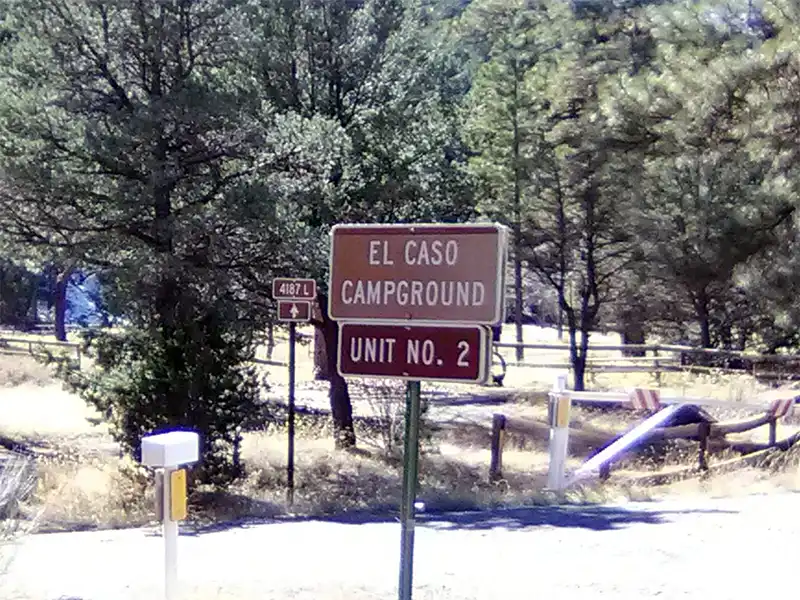
Camping at El Caso Campgrounds

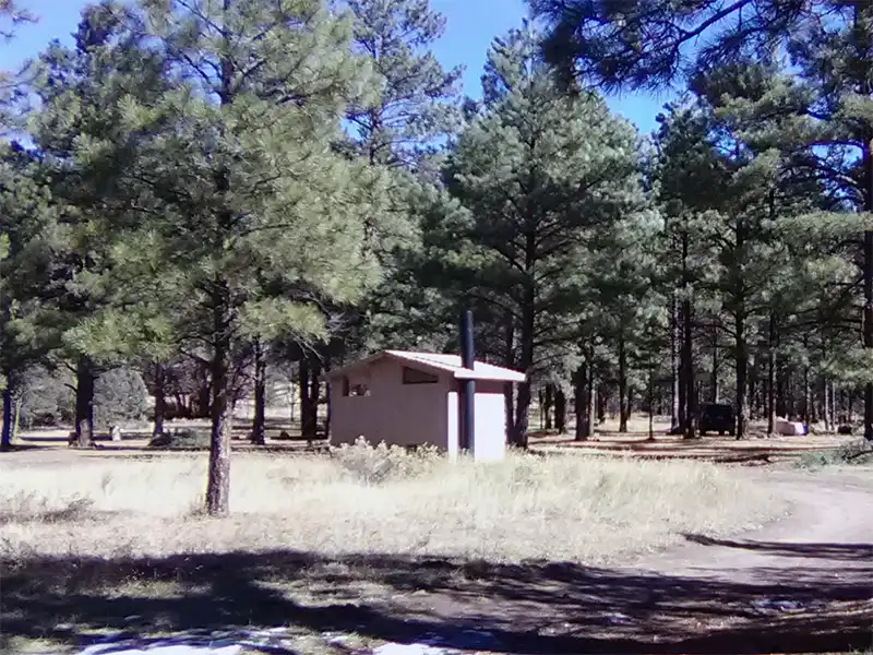
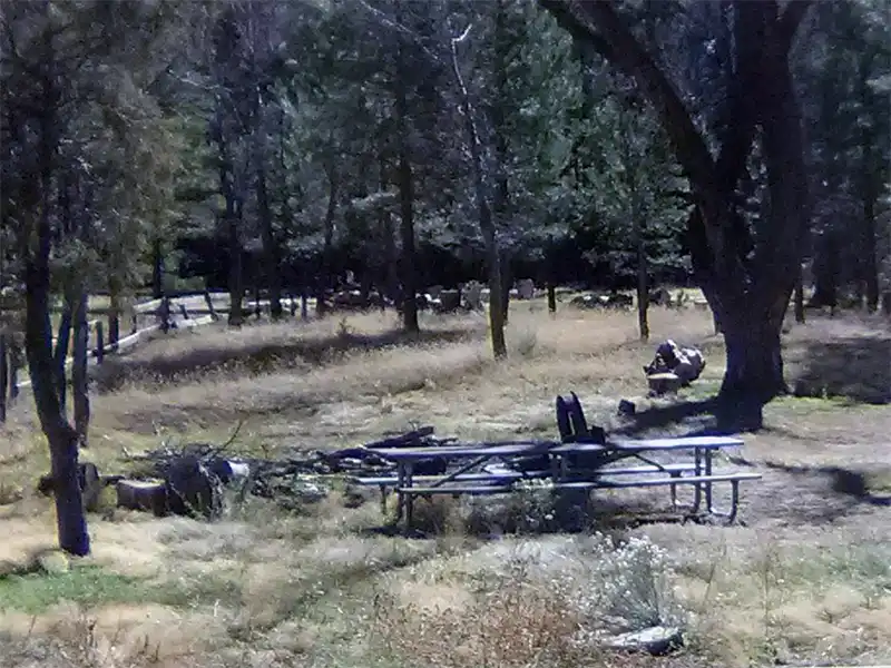
The EL Caso Campgrounds are a set of partially developed campgrounds located at the east end of Quemado Lake, approximately .25 miles east of the Piñon CG. They are nestled in a valley stretching alongside an intermittent stream and are surrounded by Ponderosa pine and Cottonwood trees. These campgrounds are popular with hunters, groups, and campers desiring a more primitive camping experience from the two paid campgrounds located at Quemado Lake.

Because these campgrounds sit in the bottom of a canyon valley, with a stream that dumps into Quemado Lake, they get flooded during heavy rains. Keep an eye on the weather forecast and be prepared to vacate. Flash floods do happen through here.

The best way to get here is to start at the town of Quemado in the north, and head south along Highway 32, then head east along Highway 103 until you pass Quemado Lake. Highway 103 changes to Forest Road 13.

There is no drinking water at these campgrounds, and no designated campsites.

Other Campsites Within 20 Miles Radius

Associated Documents

Gila National Forest Order 03-06-00-23-004, Occupancy rules, maximum camping limits, (eff: May 19, 2023, term: May 18, 2025)
Motor Vehicle Use Map, Quemado, Reserve, & Glenwood Ranger Districts, Page 2, Illustrates dispersed camping restrictions & OHV restrictions, (eff: January 1, 2023)
Motor Vehicle Use Map, Quemado, Reserve, & Glenwood Ranger Districts, Page 1, Illustrates dispersed camping restrictions & OHV restrictions, (eff: January 1, 2023)

Leave a Comment