Millers Creek Reservoir

Millers Creek Reservoir

North Central Texas Municipal Water Authority

Free Camping at Millers Creek Reservoir, Texas

Millers Creek Reservoir lies about 50 miles southwest of Wichita Falls, and is located in the middle of ranches, farms, and thick brush. All camping is found at the north-west side of the reservoir by the boat ramp. You are restricted to marked campsites only. There are a total of 30 marked sites, all of which are free.

Authority

Millers Creek Reservoir

North Central Texas Municipal Water Authority

Water Authority Office

Tel: (940) 422-4051

Particulars

GPS: 33.4172, -99.3810

Reservations: First come, first served

Camping Fee: None

Permit: None

Max Stay: 3 days in Camping Areas 1-5, 15 days in Camping Areas 6-30

Amenities: Trash cans, boat ramp

blm map overlay BLM  national forest overlay USFS  national park map overlay NPS  national wildlife refuge map overlay NWR  city boundary map overlay City  private property map overlay Private  wilderness area overlay Wilderness [CTRL + Left Mouse Click] for 3D Tilt

Millers Creek Reservoir

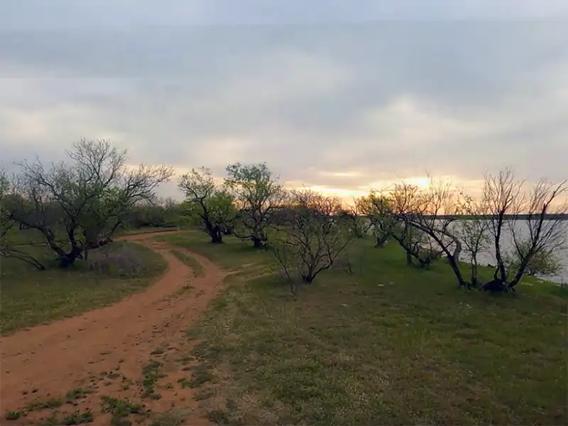
When driving to the campsites at Millers Creek Reservoir, come from the west along State Highway 222, taking FM1608. Don’t come in from the north along County Road 485 as that is all dirt road, and can get bumpy and muddy. Google Maps will more than likely have you come in from the north.

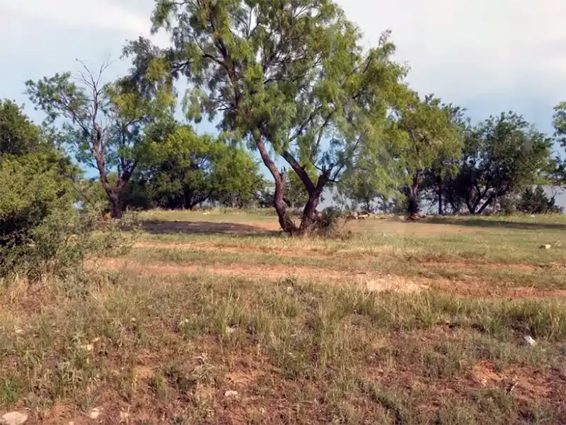
Red dirt mud is everywhere at Millers Creek Reservoir, particularly after it rains. Expect to track that stuff into your vehicle. Otherwise, try to get here when it’s dry.

Campsites 6-30 are all long term sites with up to 15 consecutive days. After you leave, you cannot come back after another 15 days. Campsites 1-5 are short term sites up to a maximum of 3 days. Once you leave a short term site, you cannot return after 3 more days.

Water Authority Enforcement will patrol the camping areas frequently and will take note of when they first see you, and will often place a notice on your vehicle of when you’re expected to leave.

Leave a Comment