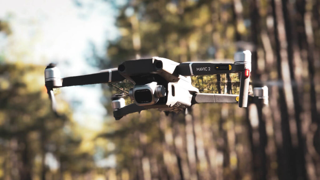
Yes, you can fly drones in a national forest and national grassland. The U.S. Forest Service does not prohibit flying drones over much of its lands. There are a handful of exceptions which we have outlined below. But for the most part, you can fly drones in any national forest and grassland.

Can You Fly Drones in a National Forest?
The U.S. Forest Service has published a statement on its website welcoming visitors to fly drones over its national forests, national grasslands, and national recreation areas…
Members of the public may fly UAS (unmanned aircraft systems) for hobby or recreation in many places on National Forest System lands. However, there are areas on National Forest System lands where UAS can’t be flown as mandated by federal law and in accordance with FAA guidelines.
Flying UAS for Fun on National Forest System Lands
Where is it Illegal to Fly a Drone in a National Forest?
- Temporary Flight Restrictions – The Federal Aviation Administration (FAA) will issue a “temporary flight restriction” (TFR) over certain areas based on natural disaster, movement of important persons, or other emergency situation. Each drone operator is responsible for knowing where these TFRs are.
- Near Forest Fires and Controlled Burns – It is illegal to operate a drone in or near a forest fire or controlled burn. Forestry crews will operate their own drones and other manned-aircraft to manage containment operations. The FAA will usually issue a TFR over forest fires and controlled burns.
- Near Rescue Operations – It is illegal to fly a drone over or near a rescue operation. Forestry crews are often dispatched to rescue someone in danger, either due to flood, fire, landslide, vehicular accident, or other.
- Wilderness Areas – Just about every U.S. Forest Service unit has areas designated as “wilderness”. In these areas it is illegal to operate any kind of mechanical vehicle or motorized vehicle. If you followed a road into your campsite, then you are NOT in wilderness. However, you are responsible for knowing where wilderness boundaries are. Refer to U.S. Forest Service regulation CFR Title 36 § 261.18 National Forest Wilderness.
- Landing Strips – It is illegal to fly a drone over a landing strip, airport, or airfield. Most forests have an airstrip either within its borders or nearby.
- Security Sensitive Airspace – This is a general term to describe any areas with heightened security, such as military bases, nuclear power plants, and national landmarks (Mt. Rushmore, Hoover Dam, etc).
- Bald Eagles and Golden Eagles – The Bald and Golden Eagle Protection Act specifically protects these two eagle species from any kind of disturbance that might cause danger to these birds, including the abandonment of a nest. Keep drones away from eagles and eagle nests.
- Above 400 Feet Altitude – The FAA has a regulation (CFR Title 14 § 107.51) that requires all small drones to remain within 400 feet of the ground.
B4UFLY Mobile App
The FAA has developed a mobile app that shows drone operators where they can, and cannot, fly. The app displays a map with colored areas depicting…
- Temporary Flight Restrictions
- Security Sensitive Airspace

