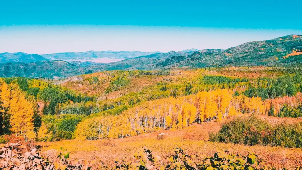
Dispersed camping near Steamboat Springs, CO can be difficult to come by because there is little BLM or Forest Service land near the city. What federal land near town lies up in the mountains, some of which requires four wheel drive vehicles. However, there are some popular places for dispersed camping, free camping, and boondocking if you’re willing to drive a little further…
Dispersed Camping Near Steamboat Springs, CO
The following camping areas are recommended based on our own personal experiences camping there and based on what has been popular with other boondockers…
Buffalo Pass Recreation Area (GPS 40.5347, -106.7843) – 5.7 miles to Steamboat Springs – The closest dispersed camping areas to town, Buffalo Pass Recreation Area is the most popular choice for free camping and boondocking. The GPS coordinates we’ve given you is for the parking lot right at the entrance. Dispersed camping is allowed beyond the parking lot along Forest Road 60 (also known as County Road 38). You can pick out any clearing off the road to camp in, and there are numerous sites for miles. The road up to the parking lot is easy for any vehicle, however the road beyond the parking lot becomes bumpy, and will become too rough for trailers and large RVs. Buffalo Pass is better suited for cars, vans, and small RVs.
Walton Peak Dispersed Camping Pullouts – 10 – 11 miles to Steamboat Springs – These are a series of six roadside pullouts. Some are semi-circular loops, while others are short roads leading into dispersed camping areas. All of them branch from US-40 about 10-11 miles south of town. Each of these six are located on the south side of the highway …
- Loop #1 (GPS 40.3613, -106.7787) – Officially marked as NF-289 on Forest Service Maps, this is the most popular, long enough to accommodate several cars, van, and motorhomes. Trailers might find difficulty here.
- Loop #2 (GPS 40.3586, -106.7699) – Officially marked as NF-290 on Forest Service Maps, this looks more like a wide shoulder on the southbound side of the highway, but is technically a very short road. This is more suitable for large RVs and trailers.
- Loop #3 (GPS 40.3550, -106.7647) – Officially marked as NF-292 on Forest Service Maps, this is very similar to Loop #1, a little smaller, still large enough for several cars, vans, and small RVs.
- Loop #4 (GPS 40.3516, -106.7593) – Officially marked as NF-294 on Forest Service Maps, this is also similar to Loop #1, a little smaller, still large enough for several cars, vans, and small RVs.
- Trail #5 (GPS 40.3499, -106.7436) – Officially marked as NF-298.1A on Forest Service Maps, this is a narrow truck trail with room for a couple cars, vans, and small RVs. Not suitable for trailers of any size as there is no means to turn around.
- Trail #6 (GPS 40.3684, -106.7419) – Officially marked as NF-295 on Forest Service Maps, this is another narrow truck trail, with room for a few cars, vans, and small RVs. Not suitable for trailers of any size as there is no means to turn around.
Rabbit Ears Pass West (GPS 40.3759, -106.7326) – 14.8 miles to Steamboat Springs – This is a road officially marked as NF-296 on Forest Service Maps. Dispersed camping is allowed all along this road, however it remains rutted and bumpy, The road runs for about 1/2 mile before it requires high clearance and 4WD to continue. Still, you can find several pullouts suitable for camping in cars, vans, and RVs of small to medium sizes.
Forest Road 302 (GPS 40.3887, -106.6595) – 19.0 miles to Steamboat Springs – You’ll find several secluded camp sites along this road as well some others on spur roads branching off. The road in has a number of potholes but nothing most vehicles can’t handle. Some sites are suitable for small to medium sized trailers.
Rabbit Ears Pass Camp (GPS 40.3885, -106.6361) – 20.3 miles to Steamboat Springs – This is one of several dispersed camping areas officially designated by Routt National Forest. It lies along Forest Road 251 and hosts numerous pull offs from the road suitable for camping. Cars, vans, and RVs of any size can find spaces to camp here. Right where Forest Road 251 intersects with US-40, there is a parking lot on the side of the highway. We recommend unhitching your trailer or toad and scouting this road first.
Rabbit Ears Pass East (GPS 40.3855, -106.6192) – 21.2 miles to Steamboat Springs – Located just a few hundred feet east of Rabbit Ears Pass, this officially marked as NF-100 on Forest Service Maps, but is also known as County Road 19. It runs for several miles and dispersed camping is permitted anywhere you can find a clearing off the road. It’s suitable for cars, vans, and RVs of any size. On the other side US-40 are two very large snowmobile parking lots. We recommend unhitching your trailer or toad here, and exploring NF-100 first.