Google Maps does not have a color for BLM land. However you can use Google Maps to help you pinpoint BLM campsites, and to find other BLM areas. Google Maps will also let you place a pin on a campsite and then give you driving directions there.
What Color is BLM Land on Google Maps?
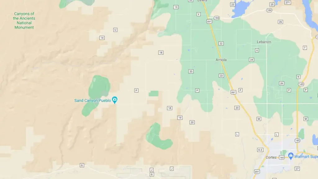
Google Maps does not use color to distinguish to jurisdictions, with the exception of cities, military areas, and Indian reservations. Instead, BLM lands, as well as forests and parks are identified by angular boundaries. The shades of white, tan, brown, and green are used to identify variances of vegetation, trees, and soil compositions.
- Not all BLM lands are represented by angular boundaries. The only BLM lands identified by angular boundaries are national monuments.
Use Boondocker’s Bible to Find All BLM Lands
You can find free BLM lands using our boondocking map.
- All BLM Land is shaded in yellow.
- Zoom in to see dirt roads and trails.
Google Maps Shows Locations of Certain BLM Areas
Google Maps will display pin markers of certain BLM areas…
- Developed campgrounds
- BLM field offices
- Visitor centers
- OHV areas
But there is no way to find all of these BLM areas easily. Google’s naming convention is woefully inconsistent, and still relies heavily on crowdsourcing. You can try searching Google Maps for “BLM” or “OHV” and hope for the best.
Very helpful, thanks!
Thanks a bunch!
No FreeRoam in the app store that I found.